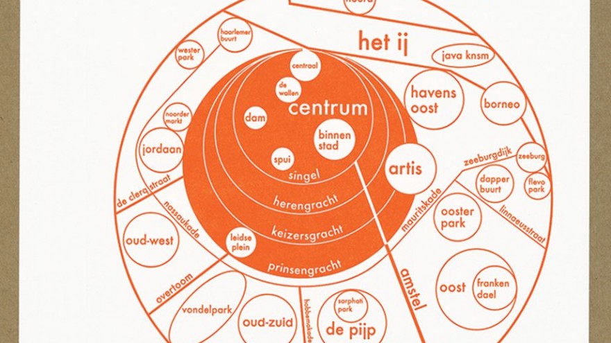
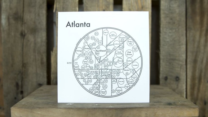
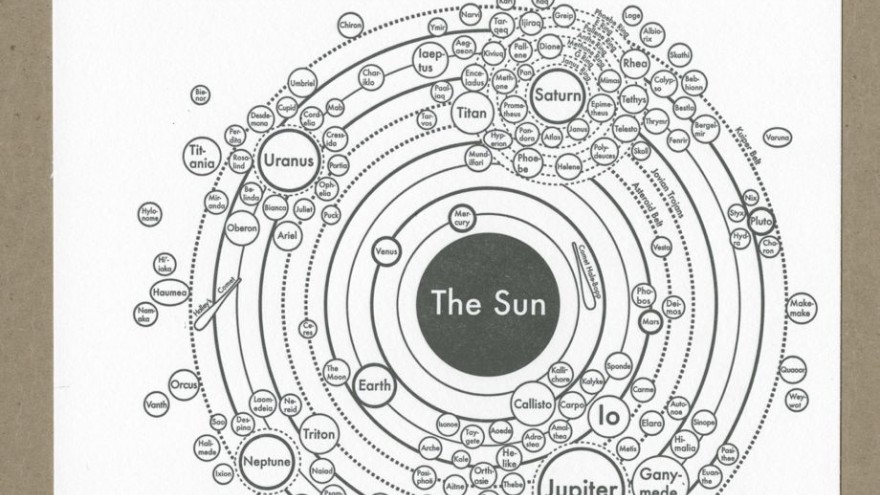
Several years ago, designer Archie Archambault found himself frustrated with the lack of simple and coherent city maps so he decided to make his own. Now, Archie’s Press designs maps that apparently help people navigate a city better than Google Maps can.
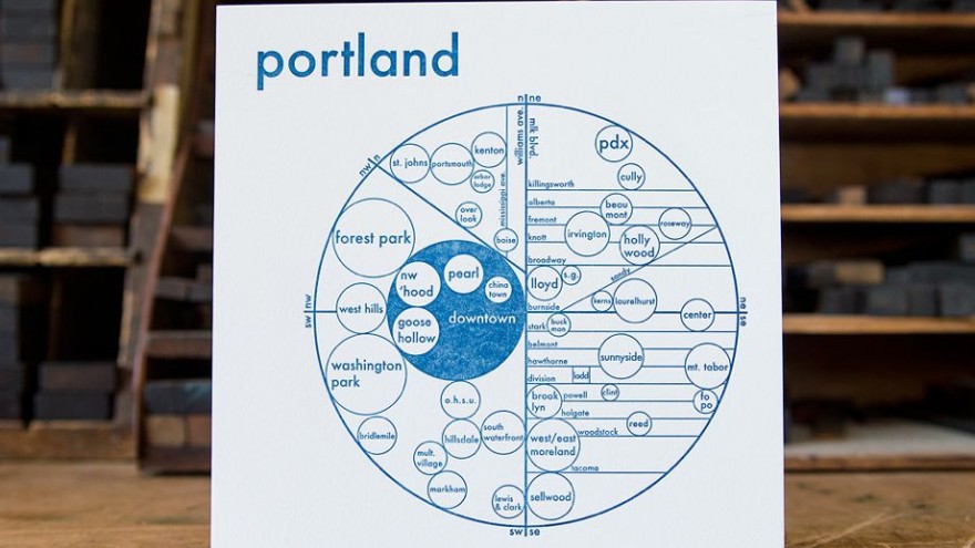
When Archambault moved to Portland after his studies in 2009, he was disorientated and couldn’t find his way around the city. Google Maps was his tool of navigation, but it failed to provide him with a broad outline of the city and was too impersonal – he wanted to have an understanding of the layout of the city from the locals who know its every nook and cranny. On a scrap piece of paper, he drew a big circle split into the four cardinal directions and used this as a starting point to map out Portland for himself.
Eventually, he started mapping out other cities and this was the start of Archie’s Press. Before creating a map, Archambault does his homework and experiences a city as a local would. To get a real sense of a place he chats to city dwellers, asks some to compose a rough map of their city, and gets the inside scoop from real estate agents who he believes have their fingers on the pulse of every neighbourhood.
Archambault believes that GPS mapping systems hinder our ability to create mental maps of our surroundings. His maps are printed on a 19th century letterpress machine in the form of simplified but concise depictions of different cityscapes. The maps predominantly consist of a city’s neighbourhoods, main streets and attractions, usually mapped out within a circular shape.
“My maps aim to install a "Map from the Mind", simplifying structures and neighborhoods in the most efficient and beautiful way. The circle, our Universe's softest shape, is the clearest graphic to convey size and connection,” says Archambault.

