While completing her Masters in Architecture at the University of Cape Town, Nikki Onderstall started exploring the idea of architectural model making as sculpture.
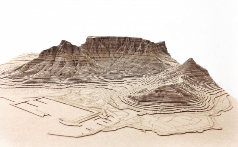
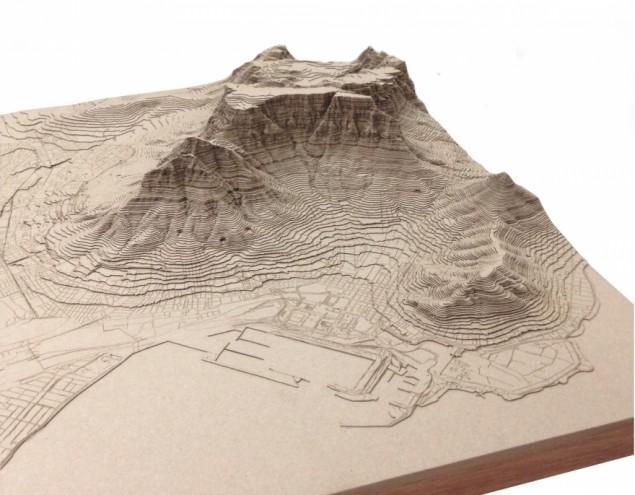
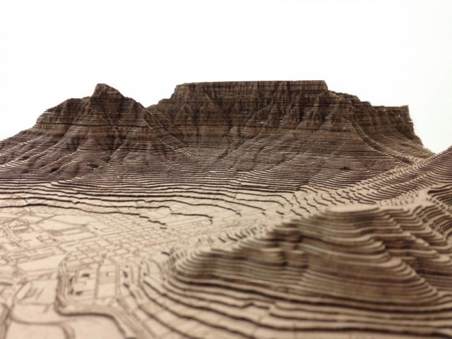
Onderstall, who is one of Design Indaba Expo's 2015 Emerging Creatives, has used laser cut card to create topographical models, using contextual maps of the City of Cape Town. We talked to Onderstall about her models and what she would like to do in the future. Onderstall's work sits somewhere between art and architecture; she is interested how the two fields interact.
Where did the idea for your laser cut models come from?
At the University of Cape Town School of Architecture, all the students have to produce working models of their designs. Recently the workshop has been upgraded with some cutting edge technology such as a 3D printer, milling machine and laser cutter. Since then, the quality of models coming from the students has changed significantly. The most exciting, in my opinion, are the landscaped terrain models we were previously unable to produce. Soon enough we were building 1:20 000 scale models of the entire city bowl – completely redefining how we could read the built environment.
In 2014 the masters class hosted an art auction at The Bank in Harrington Street to raise funds for our research trip to Morocco. The laser cut models turned out to be the star attraction at the auction and orders started rolling in. As beautiful as our models are, they are rarely given the opportunity to be showcased beyond the classroom. Part of the joy of a model is how accessible they are to everyone, unlike an architect's (sometimes) confusing drawings.
The city seems to lie only in the lowest level of your models. Is that true to scale or did you choose to have the natural elements stand out more?
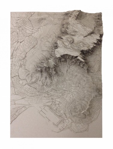
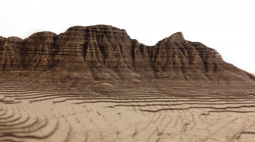
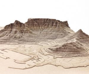
The reason the city appears to lie on the lowest level is because that is exactly where it is in reality. The site data I used to generate the model comes from the City of Cape Town’s geographic information system (GIS) database, and is therefore considered accurate. Cape Town has a remarkable ascent from sea level to mountain peak; each contour or card layer is half a millimetre in thickness and represents a 10-metre level change.
How long does one of your models take?
In order to make a model, the original drawing needs to be scaled and configured into a framed format. From there, each contour is mapped as an individual layer to be cut and site detail engraved. Putting one model together is a laborious process, not just in terms of how long it takes to cut over 150 pieces, but also in hand gluing each layer together and pressing them to make sure they sit perfectly in place without lifting.
Your training is in architecture. Is that where your interests lie too?
I have just graduated with my Masters in Architecture, but I remain interested in all facets of design. I am most interested in architects who manage to retain their artistic integrity when it comes to executing their designs.
Are these "architectural models" or are they sculpture?
I think they are somewhere in between: they are architectural in their reliable accuracy but artistic in their enlightening wonder. I like to think of them as "tactile maps".
Do you often try to document what you see?
All architects sketch; it’s the most important design skill for us to master. Le Corbusier says he prefers drawing to talking because "drawing is faster, and leaves less room for lies". Beyond that I enjoy art and keep an art blog that I fill with inspiring work. Blogging is an interesting way to distil what you like and find links between your particular attractions.
Who and what do you find inspiring?
South Africa, as being a place with untapped potential and endless opportunity.
Have you seen anything recently that’s blown your mind?
I have a new obsession with drone videos: seeing things from never-before-realised angles. Perhaps that ties in with my fascination with alternative methods of terrain mapping.
What’s next for you?
I have just graduated with my Masters in Architecture so I’m excited to get started working as a full time architect: making drawings that become buildings. However, I’m having fun getting ready for the Design Indaba 2015 by experimenting with new technology and trying out some alternative model-making techniques. I'm very excited to take part this year; I'll now be able to make some new models I might not have had the opportunity to have built before. And I’m excited to meet other creatives and talk about design beyond the built environment for a change.

