From the Series
According to humanitarian aid organisation Doctors Without Borders (MSF), millions of vulnerable people are not represented in the maps we currently use. This underrepresentation makes it difficult for organisations to deliver lifesaving aid. MSF created MapSwipe to crowdsource the information they need.
“Now, with MapSwipe, we can give vaccination campaign coordinators a super-fast snapshot of where the population clusters are, helping them to send their teams to the locations where they are most needed to achieve maximum vaccination coverage,” reads the innovation’s website.
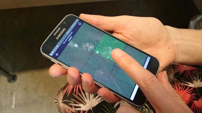
The app works on both Android and iOS and allows users to search satellite images and mark locations if there are any settlements, rivers, houses or other kinds of population clusters. The data can even be captured offline. Once it’s collected, the compiled map allows aid givers to find previously undiscovered crisis zones.
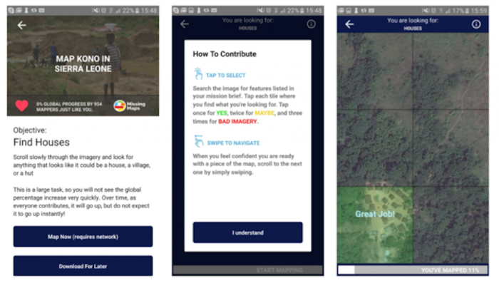
MapSwipe is part of Missing Maps, a collaborative project in which a large and committed community of NGOs, academic institutes, companies, and most of all individual mappers, map vulnerable areas in OpenStreetMap.


