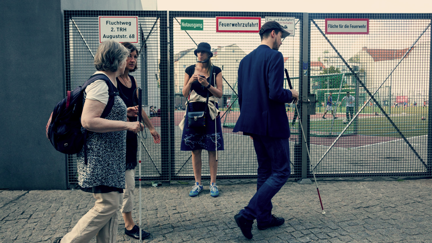
Meet BlindWiki, a smartphone application that serves as a kind of intersection between a modern GPS system and a social network to help blind or partially-sighted individuals traverse urban areas with a bit more ease.
Successfully beta-tested in Sydney, Rome and now in the city of Berlin, this project is spearheaded by award-winning Catalan artist Antoni Abad. He is an interaction designer with experience in turning consumer technology into networks for the benefit of marginalised groups – in this instance, visually impaired individuals who live in bustling cities.
Abad and his development team recognised that everyday happenings of urban life prove difficult for blind people who travel on foot, such as construction sites, irregular road curbs, uneven pavement and (especially in a city such as Berlin) bicycles that are left on sidewalks.
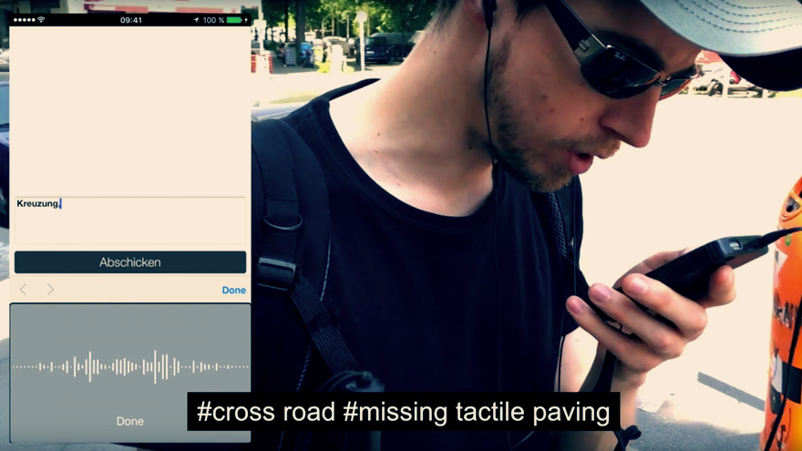
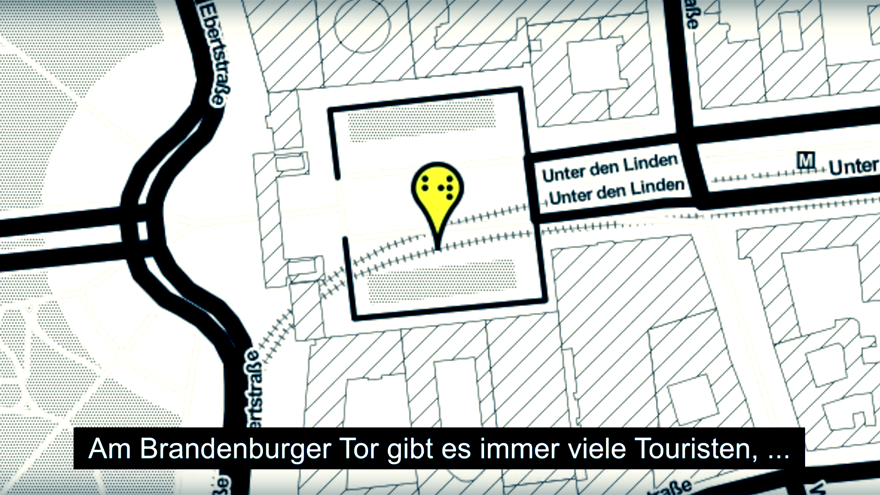
BlindWiki aims to alleviate these dangers by offering a handheld social network with which citizens can record and share experiences of travelling through potentially hazardous areas. Users are encouraged to record voice notes as they walk and appoint them to geotagged areas, advising others of risks such as crowded tourist attractions.
Anyone can use the BlindWiki app to listen or contribute to the street-specific advice using their own experience, compiled to improve the wayfinding of those who cannot see without aid.
According to the BlindWiki creators, “BlindWiki offers an international platform where participants have the opportunity to share, analyse, discuss and compare the accessibility of their hometowns, and to lobby for more or improved way-finding facilities. The project aims to raise social awareness about the urban landscape as perceived by people with vision impairment or loss.”

